Tracking
Kentucky’s Vital Forest Resources
The
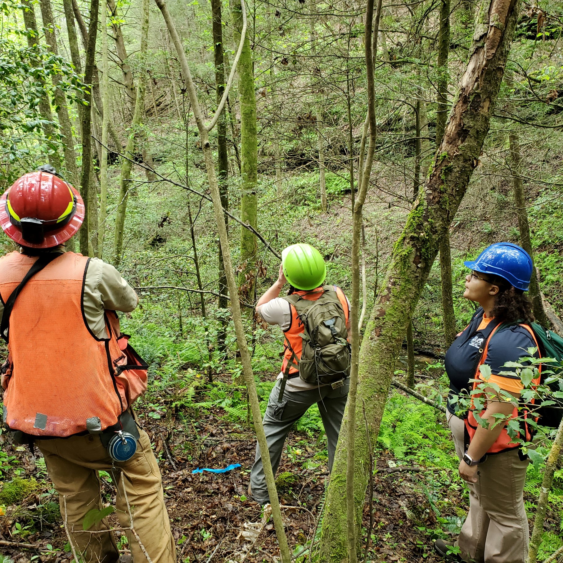
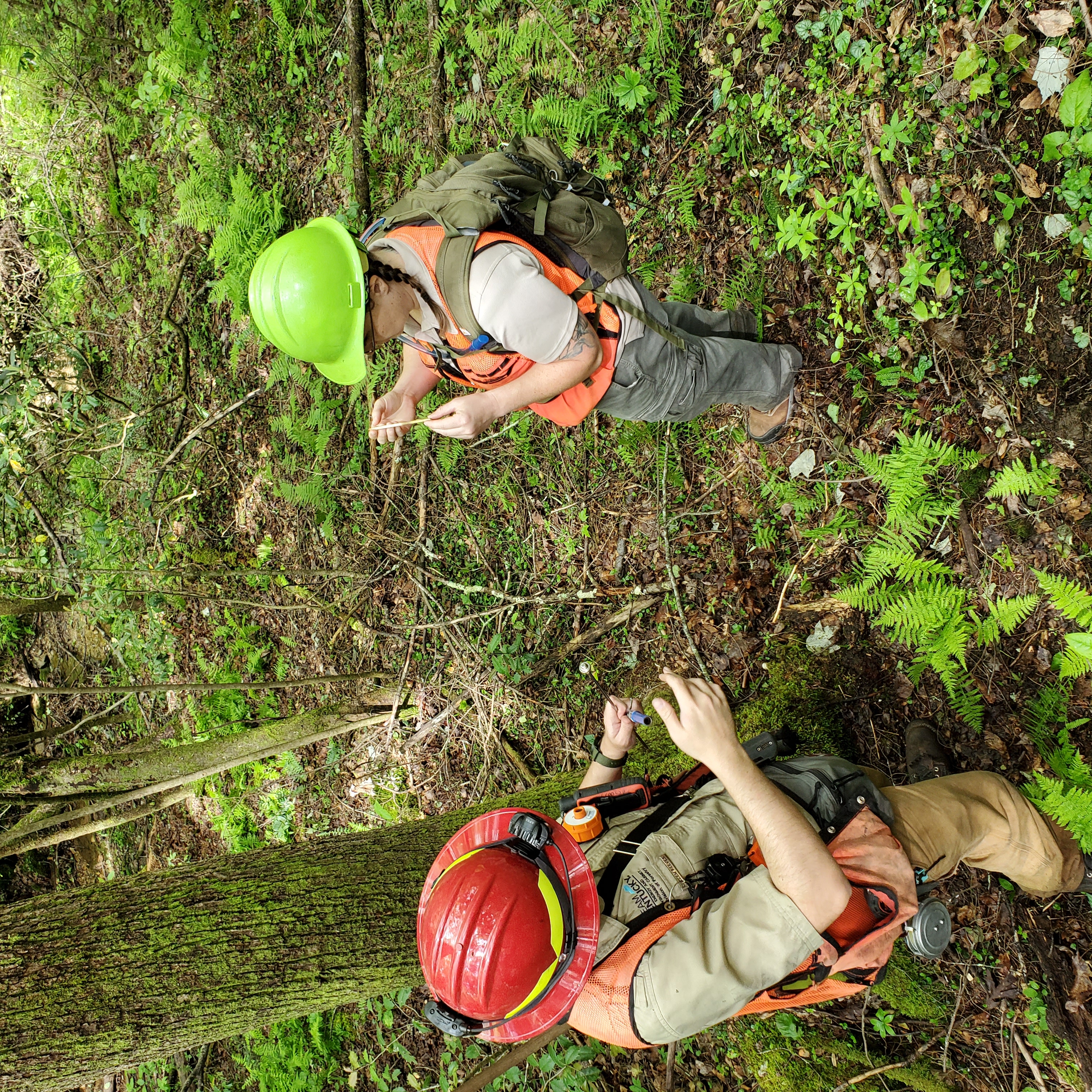
Forest Inventory and Analysis (FIA) is a program that delivers current,
consistent, and credible information about the status of forests and forest
resources by continually collecting and analyzing data about these forests and
the values they provide. FIA works to:
- Collect
annualized data relating to forest resources, health, and ownership.
- Collect
and analyze a consistent core set of ecological data on all forests to view
trends over time.
Through
partnerships with other state, federal and private forestry agencies, we can
collect data on millions of acres annually. The data are used by a
variety of professionals to assess wildlife habitat, forest health, plant
diversity, insect outbreaks, wood supply, timber resources and other forest
characteristics. Information and trends are important
indicators of the conservation and sustainable management of forests, and these
trends provide policymakers, partners, and other users a variety of data that
inform their land-management decisions over time. FIA research plots are selected randomly
without regard to ownership to ensure that the inventory reflects the true
condition of the entire area.
Landowner
If
you have been contacted by one of our FIA Foresters requesting access to your
property, it is because one of these randomly selected research plots falls on
your property, or because it is necessary to cross your property to access one
of these research plots. The answers to some frequently asked questions by
landowners are provided in a factsheet linked below.
You can find even more information about the program on this website. Your
participation in this program matters! It is important to note, that by
law, all
specific plot
locations, specific plot data, and owners’ name is confidential and cannot be shared
with the public.
What
Information Does FIA Collect?

Data collected on all FIA Plots:
- Who owns forest land
- Tree diameter, height, damage, and quality
- Regeneration
- Primary land use
- General stand characteristics (e.g., forest type, stand age, disturbance)
- Land use changes
- Trends in growth, removals, and mortality
Data collected on a subset of FIA plots:
- Tree crown traits
- Soil characteristics
- Down woody material as wildlife habitat and wildfire fuel
- Vegetation structure and diversity
How
Are FIA Data Used?

FIA
provides objective, quality-controlled data that are useful to policymakers,
researchers, land managers, private citizens, forest industry, nongovernmental
organizations, and other organizations. FIA data are used for a wide variety of
purposes, including but not limited to:
- Evaluating
how forested areas are used
- Assessing
forest health and productivity
- Gauging
wildlife habitat
- Understanding
landowners needs and goals
- Monitoring
forest fire risk on public and private land
- Developing
wood supply strategies for mill operations and locations Sparking
interest in new research and needs
Get
Data Now!
Kentucky’s FIA program is dedicated to
helping foresters, wildlife biologists, universities, non-governmental
organizations, federal and state agencies, forest industry and private
landowners locate, analyze, and understand data related to the state’s forest
resources. Data collected by FIA are available to the public through a variety
of online tools maintained by USDA Forest Service. Just visit https://research.fs.usda.gov/programs/fia#data-and-tools. To
protect the privacy of landowners and the integrity of the FIA sample, the
exact coordinates of plot locations are kept confidential. Exact plot locations
are protected by federal law.
Questions regarding the Forest Inventory and Analysis Program can be emailed to Forestry Program Specialist Robyn Whitted.